

cross-posted from: https://piefed.world/c/tech/p/1371422/mapquests-app-surges-to-no-1-in-navigation-after-refusing-to-rename-lake-ontario
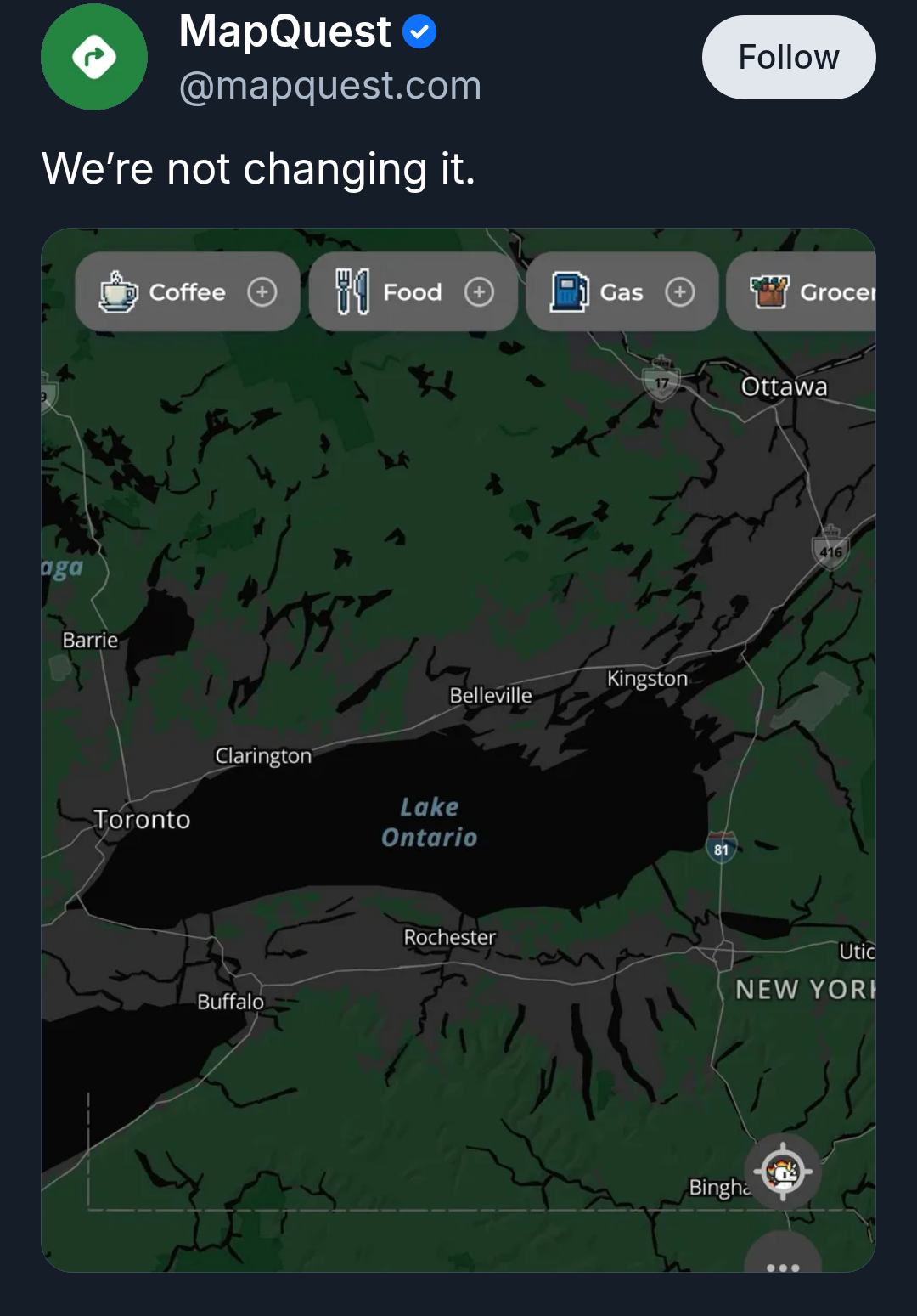
Source: MapQuest on Bluesky
MapQuest also released an online tool that lets you jokingly rename Lake Ontario to whatever you want it to be, then share the results on social media.
Maybe “pull” was the wrong word. However, looking at https://wiki.openstreetmap.org/wiki/History_of_OpenStreetMap I see:
And on https://wiki.openstreetmap.org/wiki/Contributors it shows well over a hundred counties/regions with hundreds(?) of non-user data sources/sets that are used by OSM to maintain the map.
Edit: clarity.